
Map the Parcels around a San Clemente Address
A block lookup should start with a subject address, an APN, and a map view. The goal is to identify the parcels physically beside or opposite the subject, then query those parcels one at a time. Each source below contributes a different kind of neighbor clue. None is a public list of every person who lives nearby, and no single source defines all San Clemente neighbors.
| Source | What It Shows About a Block | Access |
|---|---|---|
| County parcel and tax map | Parcel geometry, APNs, aerial and street context, nearby land units | Address or APN route; pan, zoom, and click parcels |
| Assessor secured-value page | Basic assessment and exemption snapshot for each APN | Free eight-digit APN form; owner name suppressed |
| Treasurer tax search | Address-to-parcel bridge, current or prior bill context | JavaScript portal; address or APN modes |
| RecorderWorks | Recorded parties, legal description, map, instrument, and date clues | Free index; copies by official route |
| San Clemente permits | Work, project, applicant, contractor, inspection, and address history | eTRAKiT, counter, email, or CPRA request |
| Community map | HOA, Neighborhood Watch, four watch districts, and City Boundary overlays | City PDF map; geography only |
Neighbors are geographic relationships first. A parcel can be adjacent without sharing a house number, and a building can contain several APNs. Record every source URL and roll date beside the APN rather than collapsing the block into one name list of neighbors.
Build a San Clemente Block from Parcel Records
The map method is simple but must be done parcel by parcel. The County's current stable layer inventory did not verify a radius, buffer, export, or ownership popup, so ordinary pan, zoom, and parcel selection are safer promises. Include parcels directly across the street and those sharing a boundary, then flag open space, right-of-way, common-area, and condominium parcels separately.
Use this process flow: subject address → APN → parcel map → touching or opposite APNs → assessment and tax context → recorded party or permit clue → independent dated source. A map can show geometry; it cannot prove who occupies the land.
- Locate the subject address with the Orange County tax search and save the APN.
- Open the County land-record or map route and pan until parcel outlines are clear.
- Click every parcel sharing a boundary and every parcel directly opposite across the street; record APNs and situs labels.
- Submit each APN to the official Assessor form and keep the roll date, assessed values, and exemptions actually displayed.
- Use RecorderWorks, permits, historic sources, or an approved public record request for the next clue.
Corner lots, flag lots, planned common areas, and condominium units can make physical adjacency different from address order. Keep a map note for each edge case.
Compare Mailing and Situs Across San Clemente Parcels
Situs is the physical parcel location. Mailing address is where an owner or assessee receives tax or valuation notices. The two may match, but they can also differ because of a PO box, trust, manager, out-of-area owner, or ordinary mailing choice. A mismatch is a clue about the record's delivery field, not proof of another home or of who occupies the parcel.
The Orange County Assessor's official web result omits owner name, and the Treasurer's tax information is parcel and bill context. The County's Public Service Counter in Orange and South County satellite in Mission Viejo are documented fallbacks for property and parcel-map questions. Use only the fields actually released. Do not fill suppressed owner or household information with an unverified compilation.
- Situs
- Physical location of the land or improvement.
- Mailing destination
- Address used for a tax or notice mailing; it may be outside San Clemente.
- Record owner
- A person, trust, entity, or other party named in a property or recorded document.
- Occupant evidence
- A dated source that actually states or supports presence, such as a directory, census, or lawful public contact.
San Clemente HOA and Watch-Area Map
San Clemente's citywide Neighborhood Watch and HOA map supplies a community-directory geography layer. Named areas include Marblehead Community Association, Shorecliffs Beach Club, Shorecliff Villas, Talega Village, Talega Gallery, The Reserve, Rancho San Clemente, Cyprus Cove, Cyprus Shore, Presidential Heights I, Ocean Hills, Colony Cove, Highland Light, and Pacifica San Clemente. The map overlays residential HOA areas, Neighborhood Watch areas, four watch districts, and the City Boundary.
The map identifies service areas and named associations, not members. RecorderWorks may reveal declarations, covenants, condominium plans, or annexations as recorded instruments, but a deed restriction does not prove current membership. An association's official public channel may list directors, meetings, management contact, or a voluntary directory. Contact information and publication policies must be verified with the association itself.
Marblehead and Shorecliffs
Named residential areas on the City map.
Use map geography and recorded declarations.
Rancho San Clemente and Talega
Planned-development layers associated with newer parcel and tract research.
Use public association contacts only.
Cyprus Cove and Pacifica
Community names shown as geographic areas.
Member rosters are not assumed public.
A San Clemente neighbors lookup can use the map to choose the next public contact or record source. It should not infer members from parcel shapes or label every nearby person as a neighbor.
What California Voter Street Indexes Permit
California My Voter Status is an authenticated individual form, not a block browser. It requires name, date of birth, and one of two restricted identity choices. Broader voter data can include residence and mailing address, precinct, party preference, status, dates, and participation method, but Elections Code §§2188-2194 and related regulations limit access and use.
Orange County's Street Index or Walking List is the lawful by-street channel for an eligible requester with a permitted purpose. The order requires a wet original signature, payment, and supporting documentation. The published product includes fields such as name, residence address, party preference, mail-ballot status, phone, and precinct, but the product cannot be treated as open consumer directory data. Do not reconstruct a block roster from a self-status form.
Scope check. A voter file can be a regulated election product. It is not permission to publish a San Clemente neighbor list or disclose protected voter information.
Talega, Shorecliffs, Marblehead, and Community Layers
Neighborhood names can add context that ZIP codes miss. The old 92672 core, coastal tracts, North Beach, Shorecliffs, Marblehead, Rancho San Clemente, and Talega do not share one documentary era. Some community names appear in HOA geography, some in recorded covenants, and some in historical or local-news usage. Use the name to find the right map or association channel, then verify the parcel and jurisdiction before describing San Clemente neighbors.
Public city, association, chamber, congregation, neighborhood-watch, and civic-club pages may list officers, meetings, or contact routes. A voluntary member directory is a private organizational choice. If no official public roster exists, contact the organization rather than inferring its members from deeds, voter products, or map proximity.
Use San Clemente Permits to Read Nearby Changes
Permit history can explain why an adjacent parcel looks different or why a project appears in a local record. The City eTRAKiT portal supports anonymous general property, permit, project, and map searches. Detailed records and transactions require account access. Applications may also use in-person or emailed PDF channels. Ask for an existing permit history, inspection file, square-footage note, builder, contractor, or plan by address and date range.
Community Development lists 949-361-6100 for help and 949-361-3366 for inspections. Plans and blueprints require a CPRA request. A permit applicant or contractor is a project clue, not an occupant. Compare dates and addresses with the APN, deed, directory, or census before describing a nearby household change.
- Run the nearby address in eTRAKiT and save project or permit identifiers.
- Separate site, applicant, owner, builder, contractor, and inspection fields.
- Request missing records from the City Clerk with an address and date span.
- Keep the result tied to the parcel where the work occurred.
Public-Safety Records Are Not a Neighbor Roll
Public custody and registry portals can appear in a local name search, but they do not create a complete picture of San Clemente neighbors. California CIRIS covers selected state-prison information after a disclaimer, and the Orange County Sheriff's Who's in Jail route covers current county custody. The California Megan's Law site offers selected registrant information under statutory rules and warns against misuse. A booking, registry result, or name match is not proof of guilt, residence, or present status.
The California CIRIS portal may show name, age, CDCR number, current location, admission date, commitment county, and parole-eligible month or year. It carries a strong accuracy and completeness disclaimer.
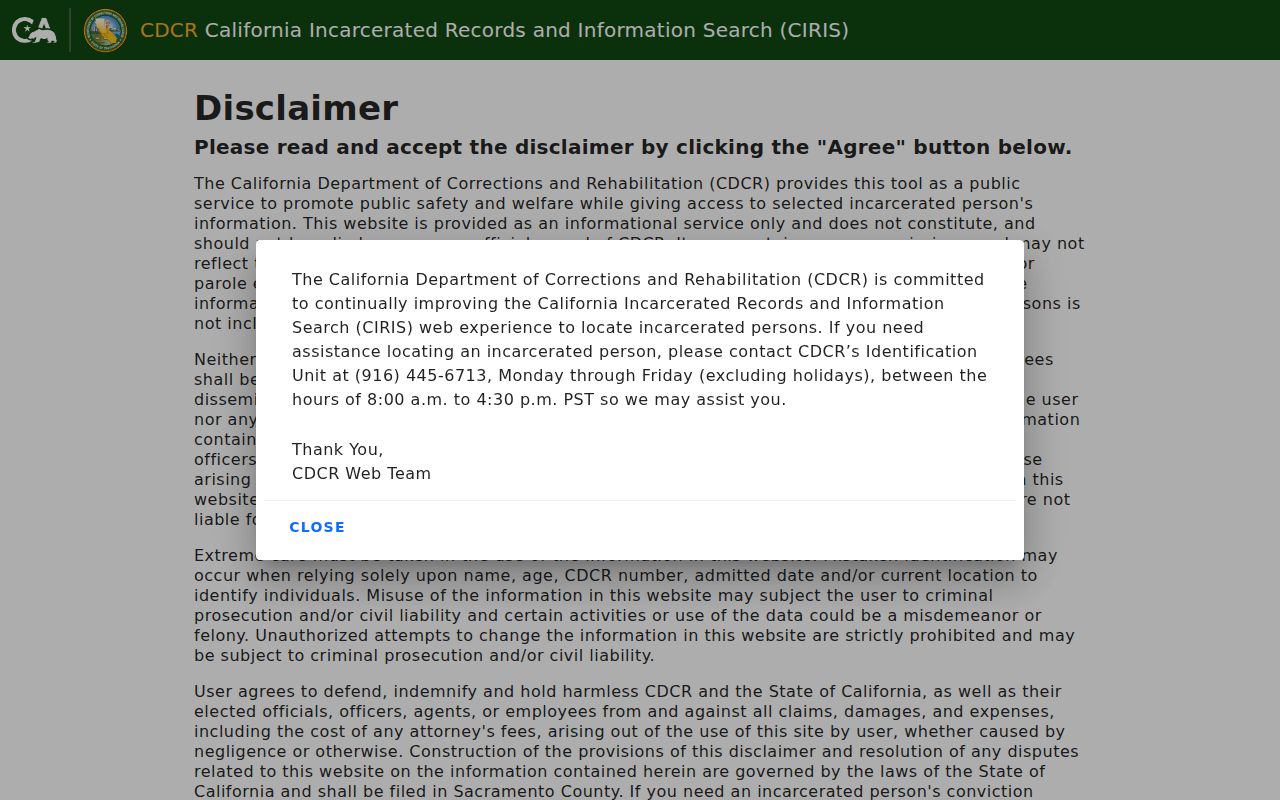
This source illustrates custody information, not a block directory. Verify any lawful record with the committing court and identifiers.
The California Megan's Law Website is a separate official registry with name and map or address-area search modes after disclaimer acceptance.
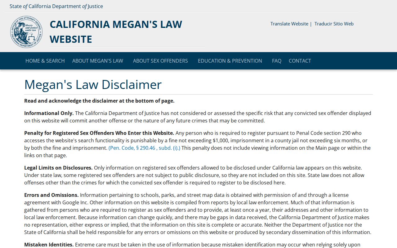
Use statutory public-safety sources only for their stated purpose, and do not republish sensitive information or infer facts beyond the displayed record.
Community Directories Are Voluntary in San Clemente
HOA, neighborhood-watch, congregation, club, school, and civic-group rosters are not interchangeable with public parcel records. An organization may publish a board, office, meeting schedule, or public contact while keeping membership private. California association inspection rules and privacy choices vary. A public officer's name is an organizational contact, not a complete list of the block.
For family history or reconnecting, a public yearbook, newspaper notice, Historical Society photograph caption, or event announcement may be a useful lead. Verify with the organization, library, court, vital, deed, or other proper custodian. The best neighbor lookup ends with a respectful public contact path when the community layer is voluntary.
| Public association page | May show officers, management, meetings, or a general service area. |
|---|---|
| Recorded declaration | May define a common-interest development or restriction; it does not prove membership or occupancy. |
| Voluntary directory | May be shared by members; availability and privacy rules belong to the organization. |
| Neighborhood map | Shows geography or watch area; it does not show every nearby household. |
San Clemente Request Reports Show Research Patterns
The City's Archive Center publishes monthly public-record request reports. The reports can show how a requester described an address, APN, permit, plan, code, or GIS question. They are a publication archive, not the underlying record and not a resident list. Use them to improve the wording of a focused request while minimizing requester names and personal details.
The official archive search provides keyword, archive, time-period, and date-range controls. A March 2026 example in the research surfaced a current-owner APN query and building-plan requests. The report shows the kind of identifier that helps a custodian locate an existing file, but the response and underlying documents still require the proper request path.
The monthly request report is available through the City's public-record archive.
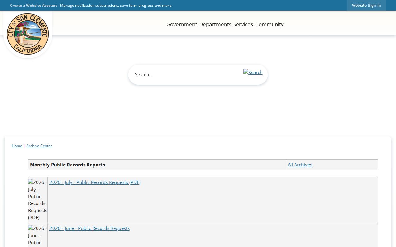
The archive is a research-method clue. It does not authorize copying or republishing personal information from a request report.
Official Rolls versus Commercial Neighbor Compilations
Commercial compilation tools can combine deeds, tax material, directories, and marketing data, but they can lag, merge names, confuse owners with occupants, and omit protected people. Official sources are narrower and slower, yet each has a named custodian and a defined record purpose. Compare the categories before trusting a lead.
| Source Type | Strength | Risk or Limit |
|---|---|---|
| County parcel or tax source | Stable APN and land context | Owner and mailing fields may be suppressed; no household list |
| Recorder index and instrument | Named recorded parties and legal description | Index is not the image; party is not automatically an occupant |
| City permit or public request | Address-specific project and file trail | Applicant or contractor is not necessarily a neighbor |
| Commercial compilation | May join many data points quickly | Source dates, identity matching, correction, and lawful-use limits can be unclear |
Use official sources to verify a claim and use a public community contact for voluntary reconnection. Do not treat speed as proof.
Why a San Clemente Neighbor Lookup Misses People
Parcel records can miss non-owner occupants, household members, minors, protected residents, people using entities or trusts, and anyone whose relevant record is confidential or retained elsewhere. A map can also include open space, common-area land, a right-of-way, or a separate condominium APN with no simple address match. Utility, school, delivery, DMV, and private association records are not general public household rolls, so neighbors may remain invisible.
Lawful use. A San Clemente neighbor lookup supports personal, family-history, civic, and property-context research. Do not use addresses or names to stalk, harass, intimidate, threaten, or harm a person.
California Safe at Home can substitute a mailing address for eligible participants. Voter data has purpose-specific limits, and the Driver's Privacy Protection Act restricts DMV information. If a name is absent, state that the source did not show it. Do not turn absence into a claim about the person, the block, or your neighbors.
Correct a San Clemente Parcel or Name Mix-Up
When a block result looks wrong, return to the APN and legal description. Check the situs, tract, lot, map, and source date. Confirm the exact document or permit number, then compare the record with a second independent source. A same-name deed, nearby address, or matching ZIP is not enough to merge two people or two parcels.
Corrections belong to the custodian. The Assessor handles assessment and parcel questions, the Recorder handles recorded-document copies or redaction requests, the City handles city-held permit and request records, and the court or election office controls its own index or data product. Keep the original result, the correction request, and the response in the research ledger.
Use three labels. Record owner, mailing destination, and occupant evidence should never be combined into one “neighbor” field.